Satellite comparison
The Dead Sea Is Disappearing
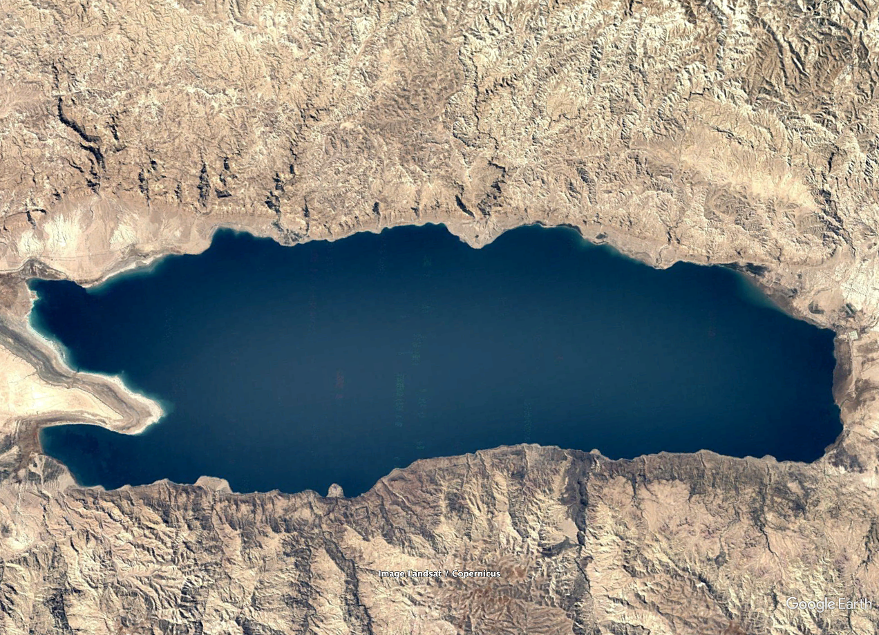
Drag the divider to compare satellite imagery from 1984 and 2020.
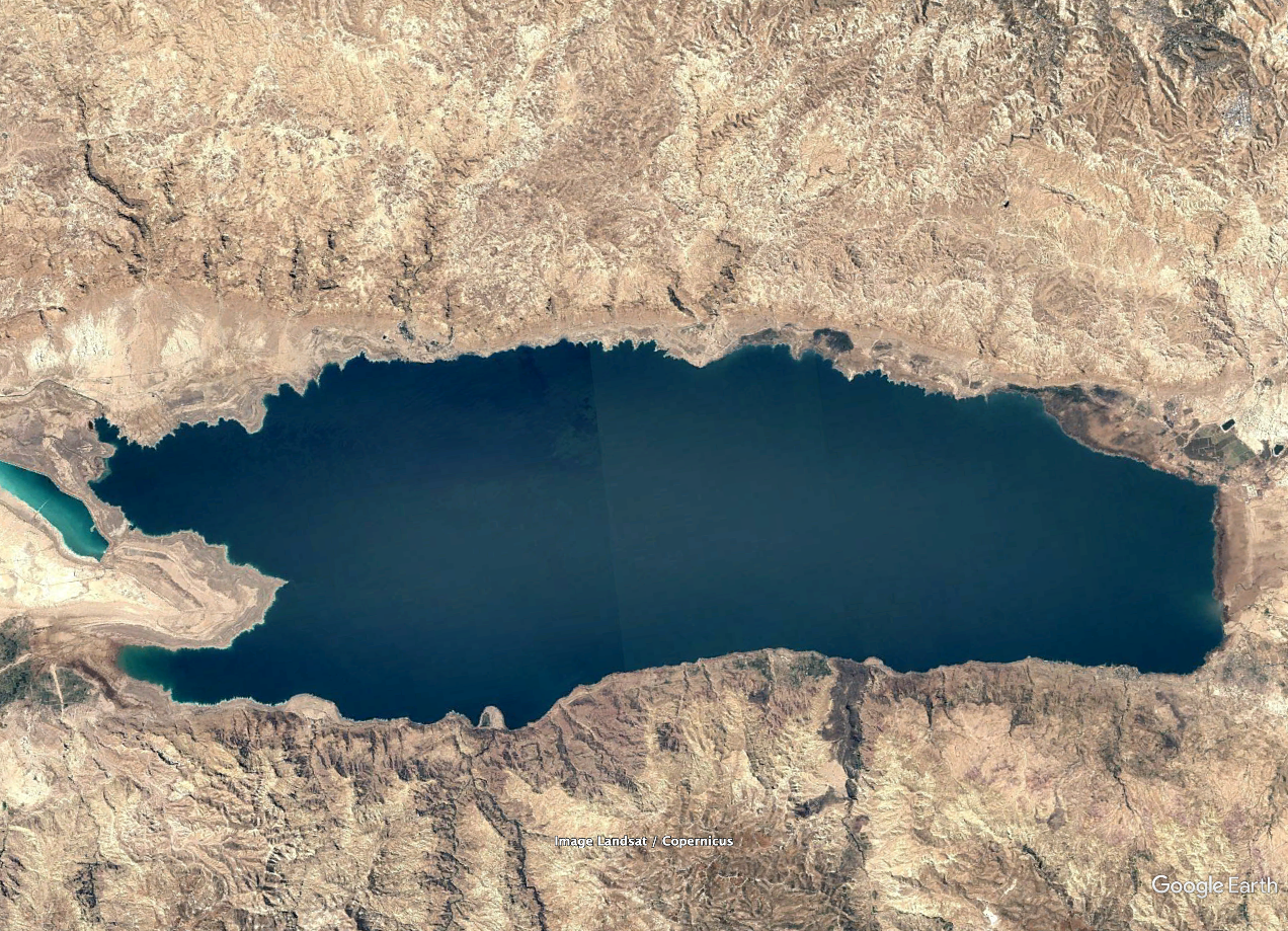
1984
2020
Retreating shoreline
Lower water levels have exposed former lakebed along the western shore.
Newly exposed lakebed
Land visible here was covered by water in the older image.
Changing channel
Lower water levels have reduced the width of the channel connecting the two basins.
Drag left or right to compare the shoreline.